perform data driven needs analysis at the network, route, and project level
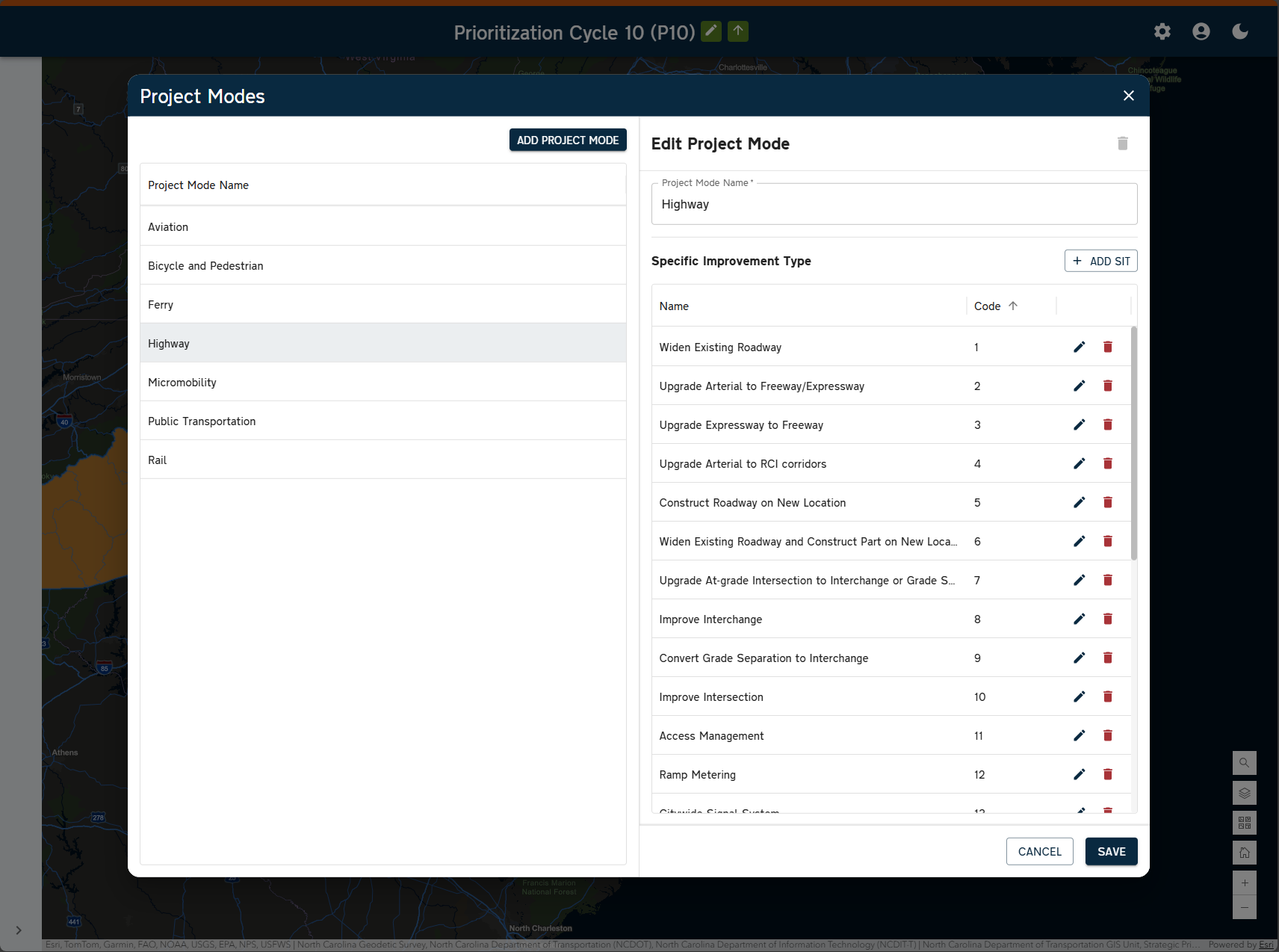
Project Prioritization System (PPS) is a web-based candidate project data collection, management, and prioritization tool that will provide candidate project data capture functionality and allow transportation agencies to perform data driven needs analysis at the network, route, and project level. Within PPS, agencies will be able to leverage their own production GIS data to create custom performance measures that can be applied across the network in real time to help determine need and prioritize objectives.

Enterprise Needs Analysis & Project Scoring
PPS enables agencies to perform comprehensive needs assessments and project scoring through a flexible, data-driven framework.
Integrated GIS Intelligence
Built on a robust geospatial foundation, PPS incorporates numerous GIS datasets, including Esri’s Roads and Highways LRS, to enhance spatial accuracy and decision-making.
Custom Performance Measures
Agencies can define and apply their own performance metrics, leveraging underlying datasets to evaluate candidate projects with transparency and consistency.
Secure Cloud Deployment
PPS is hosted in PMG’s AWS environment, fully compliant with GovRAMP security standards to ensure data integrity and government-grade protection.

Secure & Compliant
PMG is a GovRAMP Ready provider, demonstrating our commitment to meeting the highest state and local government data security standards as we progress toward full authorization.